

The Path of Exploration: John C. Frémont's Impact on the American West and Las Vegas
The expeditions of John C. Frémont and his interactions with fellow explorers like Raphael Rivera played a significant role in shaping the exploration and eventual development of regions such as Las Vegas. Their detaile
d mapping and exploration of the American West laid the groundwork for future settlers and influenced key decisions related to infrastructure and the region’s potential.
Frémont and Rivera’s Contributions to Las Vegas
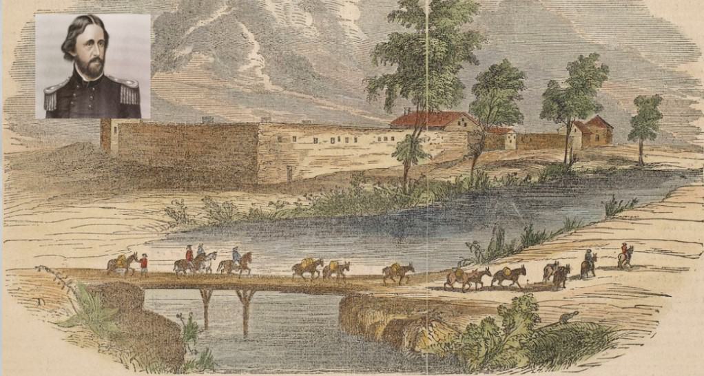
While Rivera’s expedition helped shape the understanding of the American West, including Las Vegas, it was Frémont’s exploration of the Las Vegas Valley in 1843 that truly mapped the region’s resources and geography. His efforts provided valuable insights into the region’s topography, water sources, and suitability for settlement, which later played a part in the growth of Las Vegas.
Fremont’s contributions include detailed maps that guided future settlers and explorers, helping to establish Las Vegas as a key location for both settlement and development. His work sparked interest in the area due to its water sources and agricultural potential, which would later be crucial for the growth of the city.
Fremont Street and Las Vegas Legacy
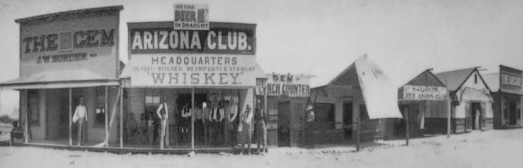
Today, one of the most visible tributes to Frémont’s impact on the city is Fremont Street, named in honor of John C. Frémont. The vibrant pedestrian mall in downtown Las Vegas is an iconic landmark and showcases the energy and growth of the city, reflecting the legacy of exploration that Frémont helped to create.
The Path to Railroads and Las Vegas
Though Frémont and Rivera did not directly contribute to the construction of railroads to Las Vegas, their explorations highlighted the region’s viability. This knowledge, combined with the work of the San Pedro, Los Angeles & Salt Lake Railroad, which later became the Union Pacific Railroad, enabled the development of transportation infrastructure that would link Las Vegas to other major cities, fostering its growth.
Fremont’s Early Life and Exploration
John C. Frémont, known as “The Pathfinder,” was born in 1813 in Savannah, Georgia, and grew up in Charleston, South Carolina. He was deeply interested in science, particularly geology and topography, which led him to embark on a series of ambitious expeditions to explore the American West. Frémont’s early academic experiences, supported by his political connections with Senator Thomas Hart Benton, provided the foundation for his exploration career.
Frémont’s first major expedition in 1842, which mapped the land between the Mississippi River and the Rocky Mountains, established him as a leading figure in western exploration. His detailed maps and scientific reports became invaluable resources for future settlers and explorers heading westward.
Collaborations with Other Explorers
Frémont worked with several notable individuals during his expeditions, such as Kit Carson, Charles Preuss, and Joseph N. Nicollet, among others. These collaborations helped him gather the necessary data for mapping vast and often rugged territories, and many of his companions played essential roles in overcoming the challenges faced during these journeys.
The Legacy of Frémont’s Maps
Frémont’s contributions to mapping and documenting the American West left an enduring legacy. His maps were crucial in facilitating the settlement and development of regions like the Great Basin, California, and Oregon. By accurately mapping terrain, water sources, and potential hazards, Frémont’s work became indispensable to the westward migration that followed.
In conclusion, Frémont’s expeditions and maps significantly shaped the development of the American West, including Las Vegas. His legacy can still be seen today in the city’s infrastructure and in the continued use of his maps as references in the study of the region’s geography and history.
Fremont's Early Life and Exploration
John C. Frémont, known as “The Pathfinder,” was born in 1813 in Savannah, Georgia, and grew up in Charleston, South Carolina. He was deeply interested in science, particularly geology and topography, which led him to embark on a series of ambitious expeditions to explore the American West. Frémont’s early academic experiences, supported by his political connections with Senator Thomas Hart Benton, provided the foundation for his exploration career.
Frémont’s first major expedition in 1842, which mapped the land between the Mississippi River and the Rocky Mountains, established him as a leading figure in western exploration. His detailed maps and scientific reports became invaluable resources for future settlers and explorers heading westward.
Collaborations with Other Explorers
Frémont worked with several notable individuals during his expeditions, such as Kit Carson, Charles Preuss, and Joseph N. Nicollet, among others. These collaborations helped him gather the necessary data for mapping vast and often rugged territories, and many of his companions played essential roles in overcoming the challenges faced during these journeys.
The Legacy of Frémont’s Maps
Frémont’s contributions to mapping and documenting the American West left an enduring legacy. His maps were crucial in facilitating the settlement and development of regions like the Great Basin, California, and Oregon. By accurately mapping terrain, water sources, and potential hazards, Frémont’s work became indispensable to the westward migration that followed.
In conclusion, Frémont’s expeditions and maps significantly shaped the development of the American West, including Las Vegas. His legacy can still be seen today in the city’s infrastructure and in the continued use of his maps as references in the study of the region’s geography and history.
Vegas & Gambling History:

The Richest Poker Players in History: The All-Time Money List 2025

From TV Screens to Casino Streams: How Game Shows Like Deal or No Deal Sparked A Live Revolution

Las Vegas Proves The House Always Wins: How Vegas Casinos Beat Online Gambling by Buying It

Forgotten Gambling & Card Games: Exploring Their Legacy and Modern Equivalents
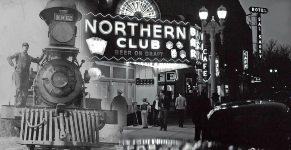
Las Vegas History: Railroad Development Paved the Way for Las Vegas to Become the Gambling Capital of the World
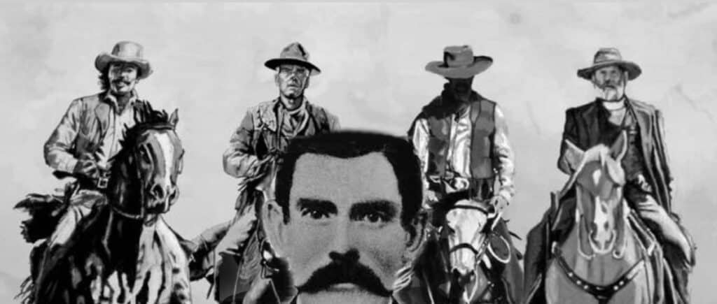
Las Vegas History: Doc Holliday Famous Gambler Gunslinger and Resident of Las Vegas
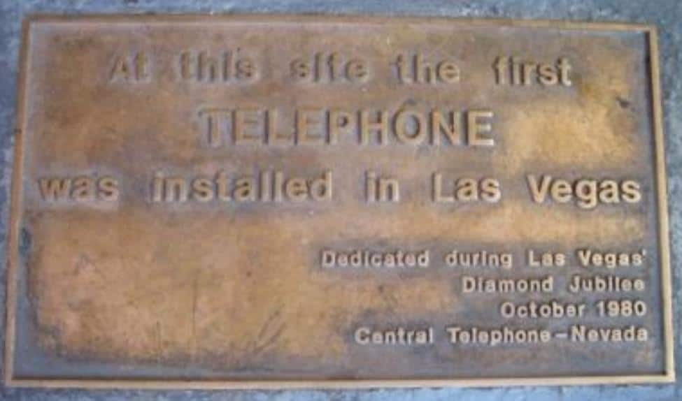
Las Vegas History: How Las Vegas’ First Telephone Exchange Made Bugsy Siegel’s Race Wire Possible
Las Vegas History: The Official Naming of Las Vegas 1905
Las Vegas History: 1864 Las Vegas The Impact of Nevada Statehood
FAQ: John C. Fremont
1. Who was John C. Frémont?
John C. Frémont, full name John Charles Frémont, was an American explorer, military officer, and politician who played a significant role in the western expansion of the United States during the 19th century. He was known as “The Pathfinder” for his explorations in the American West.
2. What is John C. Frémont’s connection to Las Vegas?
While John C. Frémont did not have a direct connection to the founding of Las Vegas, his explorations in the mid-19th century helped to open up the western territories, including parts of what is now Nevada. His expeditions contributed to the mapping and understanding of the American West, influencing subsequent settlement and development.
3. When did John C. Frémont explore the Las Vegas area?
John C. Frémont explored the western territories in the 1840s. While he didn’t specifically explore the Las Vegas area, his expeditions covered vast regions, and his mapping efforts contributed to the broader knowledge of the geography and resources of the American West.
4. What were some of John C. Frémont’s notable expeditions?
Frémont led several expeditions, including the famous exploring expeditions of the American West in the 1840s. One of his most significant journeys was the third expedition (1845–1846), during which he and his team explored parts of present-day Oregon, California, and Nevada.
5. Did John C. Frémont have any impact on the development of Las Vegas?
While Frémont did not have a direct impact on the development of Las Vegas, his explorations paved the way for westward expansion and the eventual development of the region. The knowledge gained from his expeditions contributed to the broader understanding of the geography and resources of the American West.
6. Is there a monument or memorial to John C. Frémont in Las Vegas?
Yes! Fremont Street!
7. Where can I learn more about John C. Frémont in Las Vegas?
While there may not be a specific museum or exhibit dedicated solely to John C. Frémont in Las Vegas, local historical societies, museums, or libraries may have information about his explorations and their impact on the region. Additionally, online resources and historical archives can provide more in-depth information about Frémont’s contributions to the American West.